Applications
Commercial
Ease of Use
Efficient Operations in the Field
Ease of Use: The RedTail LiDAR RTL-450 workflow was developed with Commercial users in mind. Field operations require ease of use and efficient planning to maximize the utility of collections and creating data deliverables for customers. Guidance from a wide range of end-users was captured for the development of RTL-450’s easy-to-use and simple to understand interface. Operators can begin collecting high-quality 3D data with only a few hours of training.
High Resolution Point Clouds: The RedTail LiDAR System was developed by the Army Research Laboratory (ARL) to create high-resolution point clouds that have broad applicability for commercial use cases. The superior resolution of the point clouds generated by the RedTail LiDAR System allows customers to perform enhanced data analytics to allow detailed analysis of including the incorporation of Artificial Intelligence/Machine Learning (AI/ML) algorithms for detection and classification.
Integration completed on multiple drones: The RTL-450 LiDAR system is a fully integrated payload on the Teledyne FLIR R80D SkyRaider/R70 Skyranger, FreeFly Alta X, Inspired Flight IF1200 and will soon be integrated onto the Harris Aerial H6 HE+, the Ascent Spirt, the Blue Halo E1250. As other suitable drones are identified or requested by customers, RedTail LiDAR will provide a fully integrated LiDAR payload on those platforms.
Key Specifications: The RTL-450 LiDAR sensor by RedTail LiDAR Systems provides superior performance for commercial applications, including:
- An operating altitude of 120 meters to provide superior area coverage on a given drone flight
- A low system weight of 4.8 pounds, facilitating integration on a broad range of drone platforms
- A high point density which allows drones to fly at their maximum speed while still generating a point density that is 5 times greater than competing LiDAR products
- Designed and assembled in the U.S.
Commercial Scenarios
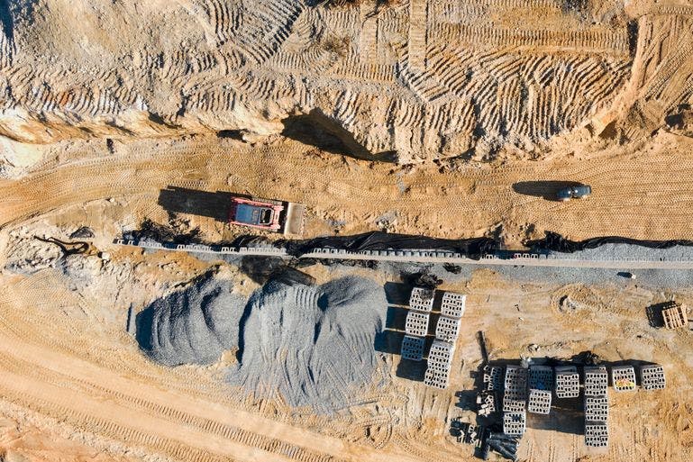
Construction
Learn More →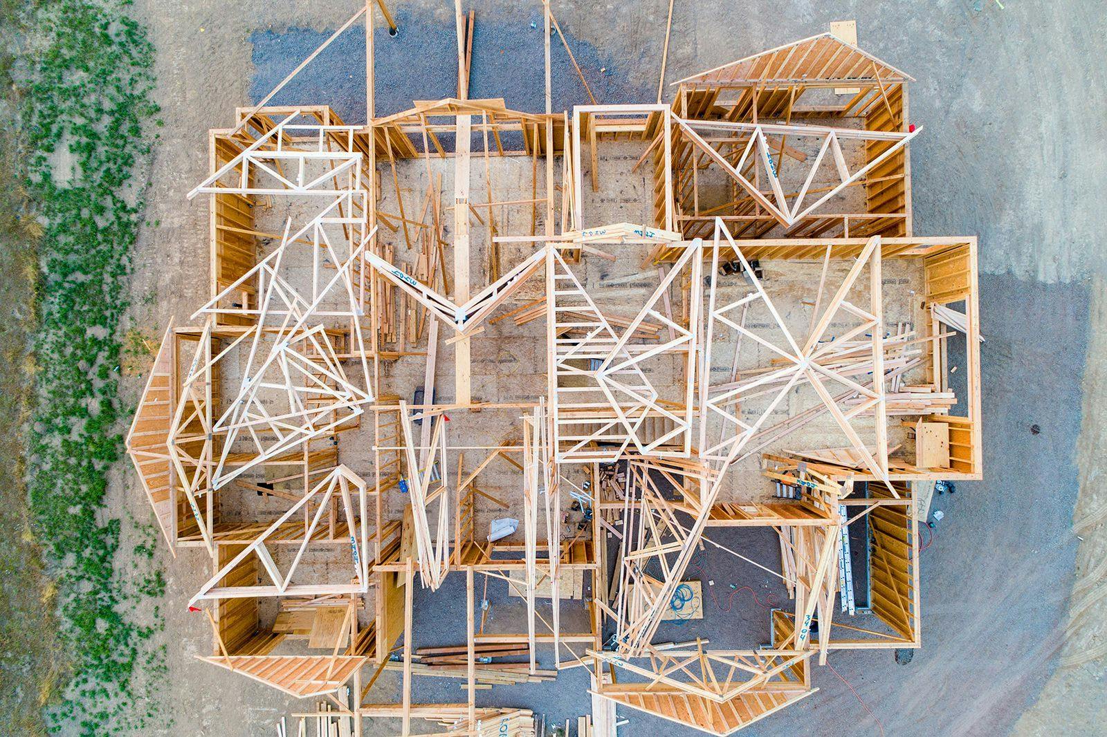
Property Development
Learn More →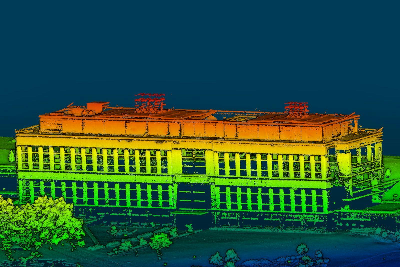
Site Mapping
Learn More →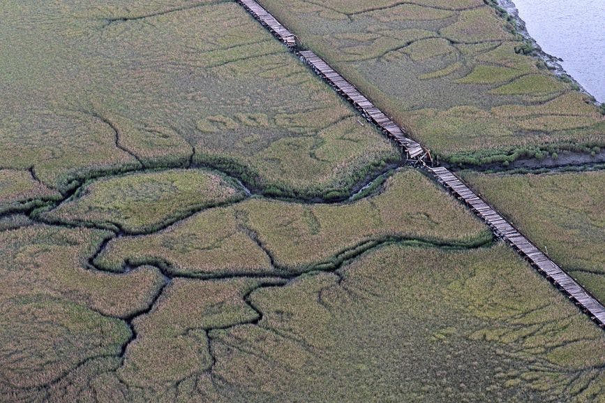
Environmental Monitoring
Learn More →
Historic Preservation
Learn More →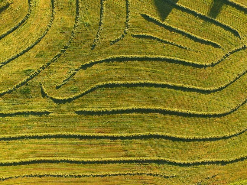
Precision Agriculture
Learn More →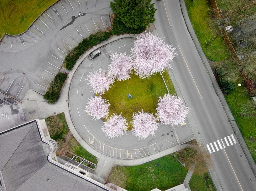
Master Planning
Learn More →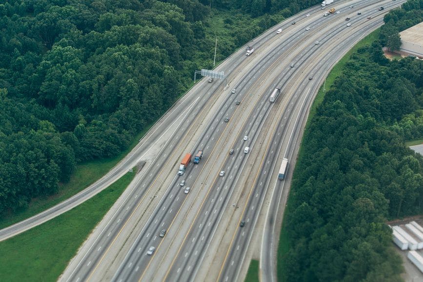
Corridor Mapping
Learn More →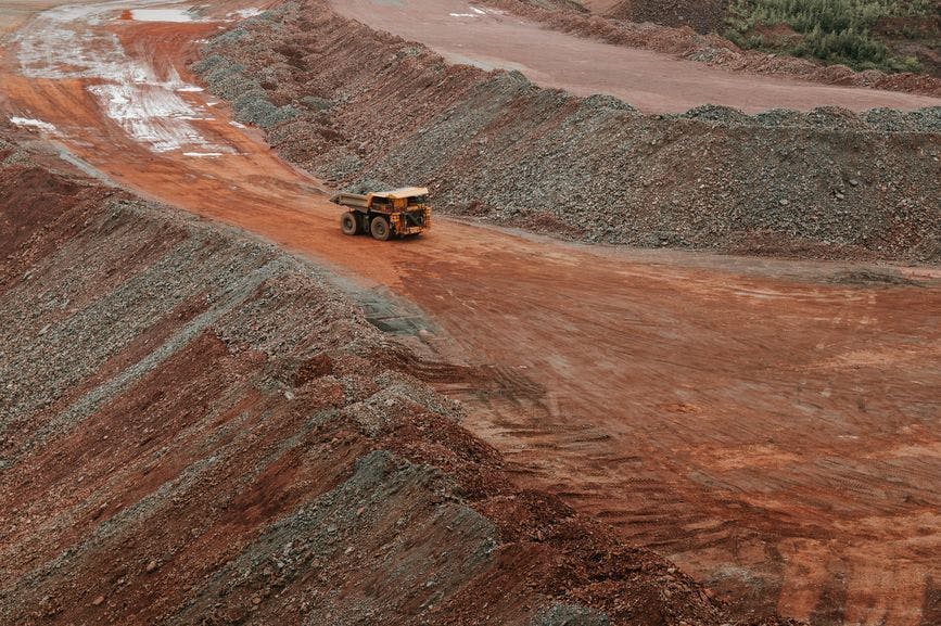
Mining
Learn More →See how the RTL-450 will optimize sUAS LiDAR mapping for your business.
Contact Us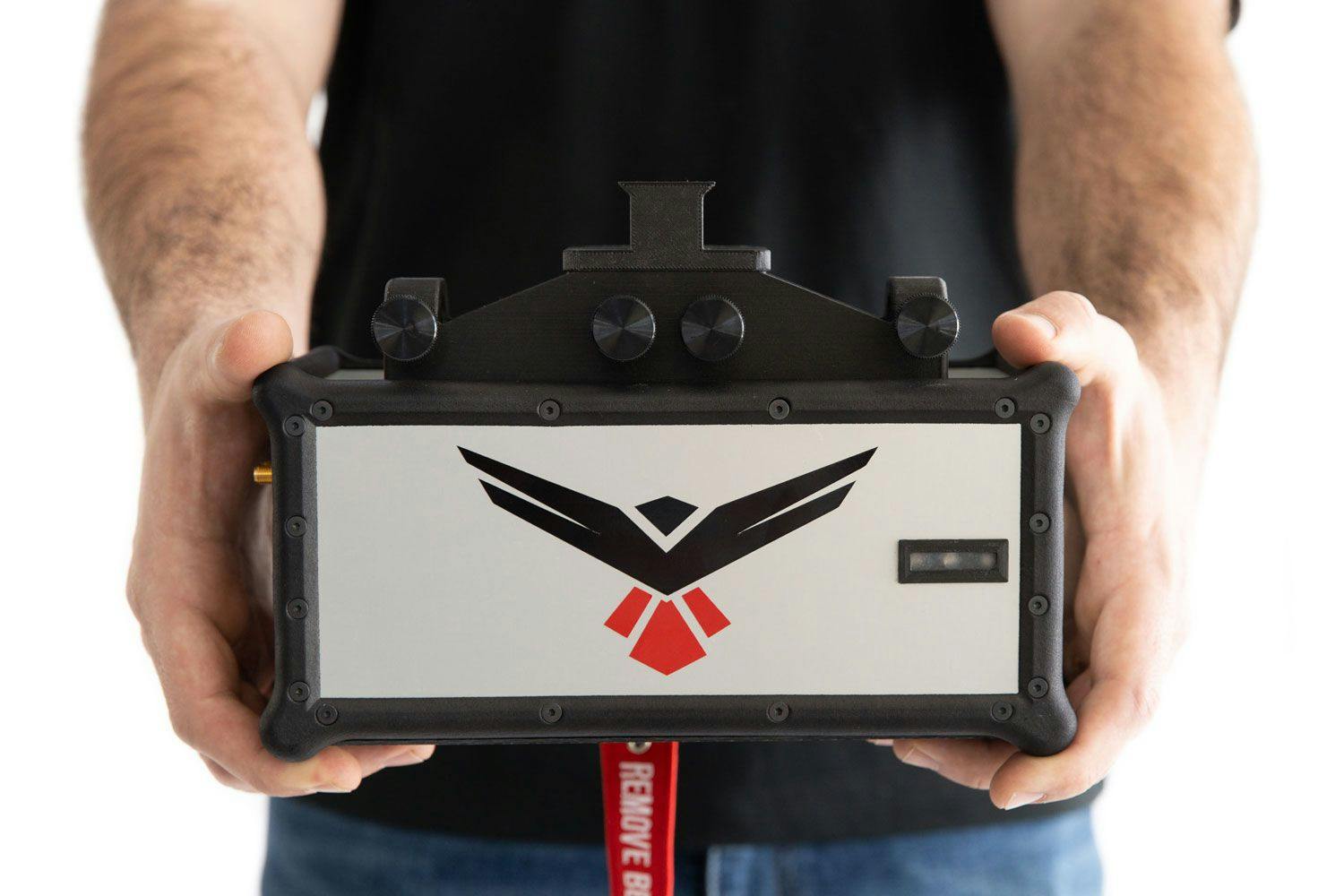
RedTail LiDAR technology licensed from the U.S. Army Research Laboratory; U.S. Patent Number 10,444,330 B2. Scanning - the way it was meant to be is a trademarked slogan of RedTail LiDAR Systems. Specifications are subject to change.