Commercial Scenarios
Master Planning
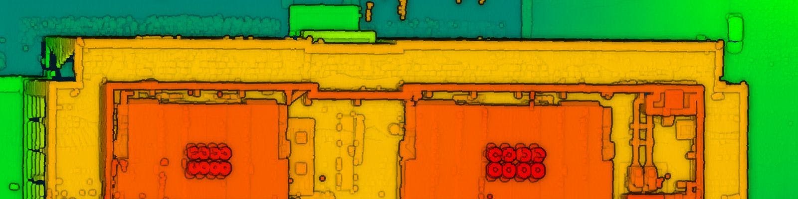
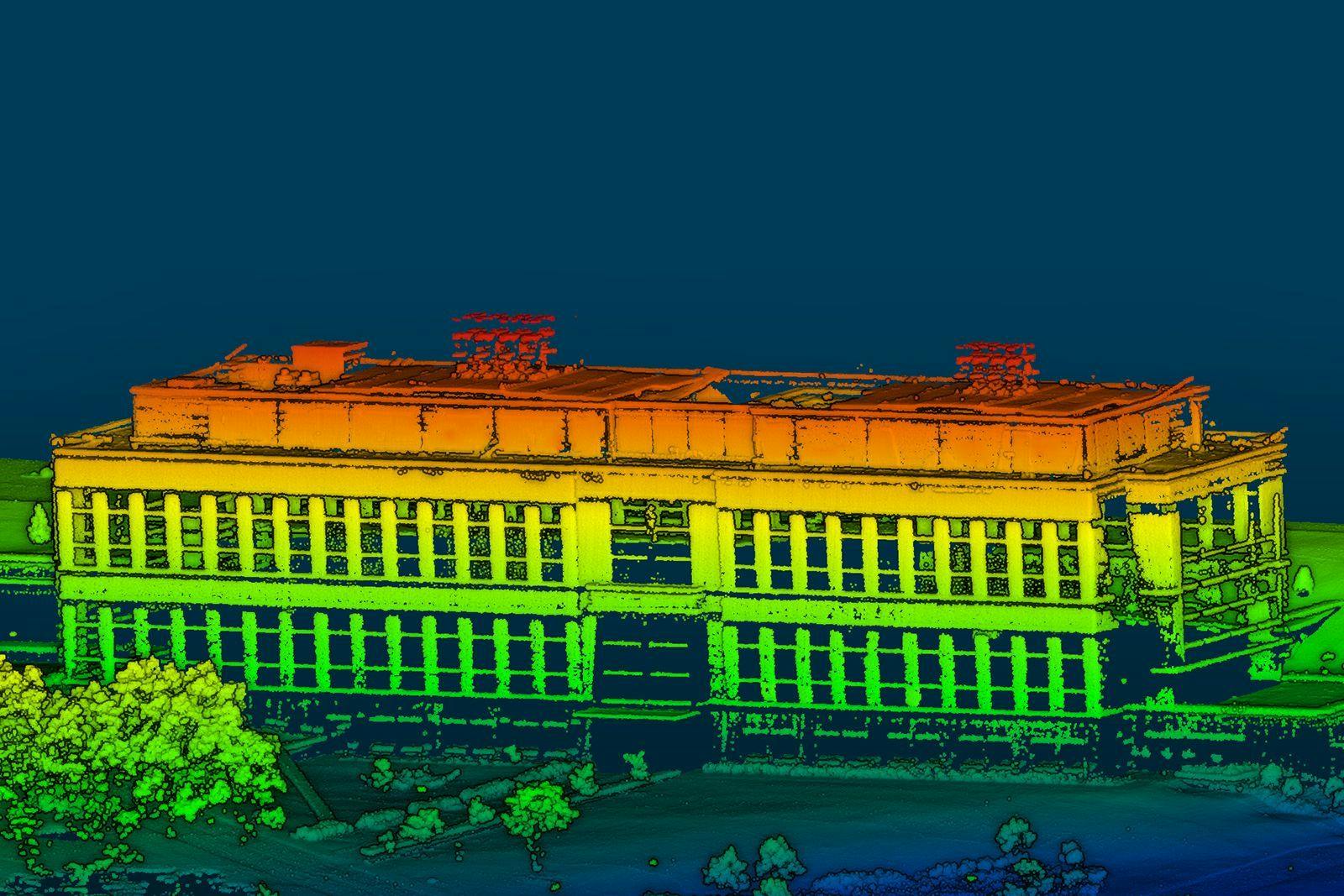
Designed for small drones, the RedTail LiDAR System is a superior point cloud generation tool enabling you to survey, map, analyze, and monitor all of your infrastructure projects.
The power of LiDAR imaging is the creation of point clouds that can be used in a diverse number of ways. The data is gathered quickly, safely and cost-effectively, and can be imported directly into engineering, construction, and architectural software solutions, allowing for detailed simulations of the project.
Whether you are master planning a high-density urban area, university campus, or retail development, LiDAR data can be used to: 1) create topographic and boundary surveys, 2) map existing assets and collect measurement data,
3) conceptualize design by providing 3D data of ‘real-world’ conditions for modeling scenarios, 4) create transportation and utility planning maps, 6) collect detailed building façade data, including locations of column supported overhangs, entrances and steps, and 7) support management of permitting and right-of-way encroachment processes.
The RedTail LiDAR System is the optimal solution for your master planning project. With a pulse repetition rate of 400,000 pulses per second, even ground-point distribution, superior ranging capability, and optimized scan angles, the RedTail LiDAR System provides comprehensive and versatile data to simplify your master planning project needs.

See how the RTL-450 will optimize sUAS LiDAR mapping for your business.
Contact Us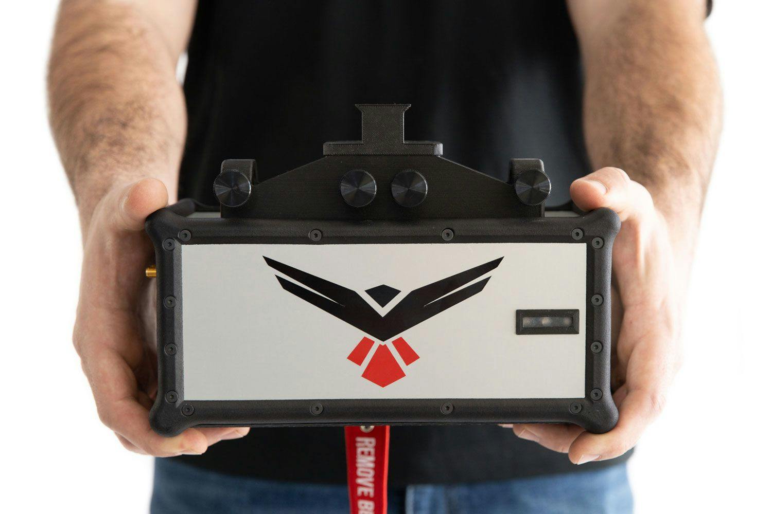
RedTail LiDAR technology licensed from the U.S. Army Research Laboratory; U.S. Patent Number 10,444,330 B2. Scanning - the way it was meant to be is a trademarked slogan of RedTail LiDAR Systems. Specifications are subject to change.