Commercial Scenarios
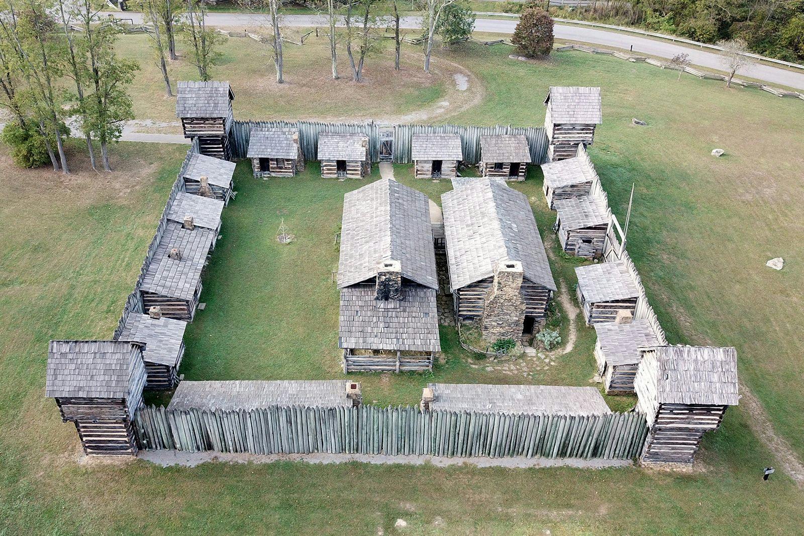
Historic Preservation
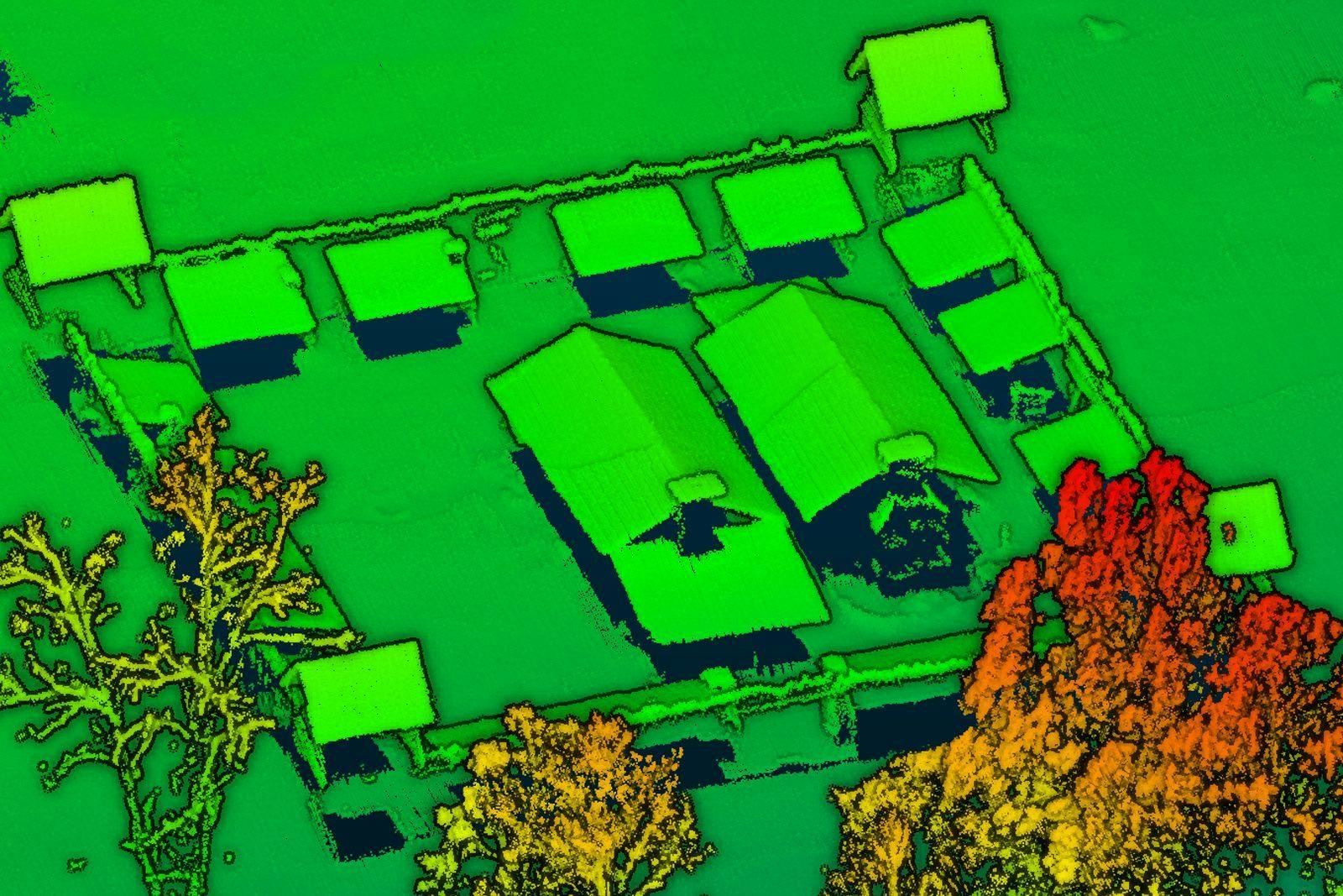
RedTail’s Drone-based LiDAR has changed the way historic preservation is approached by employing the latest aerial scanning technologies.
Marrying technology and history, preservationists, historians, natural resource managers, and archaeologists are adopting the use of drone-based LiDAR to assist with the tasks of resource mapping, development, management, and monitoring.
Designed specifically for small unmanned aerial vehicles, the RedTail LiDAR System combines the agility and operability of a drone with a superior point cloud generation tool. Together, they create high-resolution, highly accurate 3D point clouds of your cultural and historical sites.
The power of LiDAR imaging for historic preservation is the ability to create accurately georeferenced point clouds of historically important sites. Data collected can be used to: 1) detect large-scale features, such as mounds, foundations, and spatial patterns, 2) provide precise three-dimensional measurements of structures, 3) safely assess structures in remote and dangerous areas, 4) quickly archive documentation of structures to guide preservation and rehabilitation decisions following a disaster, and 5) when paired with GIS and 3D modeling software, can create an immersive visualization experience.
The RedTail LiDAR System is the optimal solution for cultural and historical imaging. With a pulse repetition rate of up to 400,000 pulses per second, even ground-point distribution, superior ranging capability, and optimized scan angles, the RedTail LiDAR System simplifies even the most challenging of cultural and historical landscape 3D mapping missions.
See how the RTL-450 will optimize sUAS LiDAR mapping for your business.
Contact Us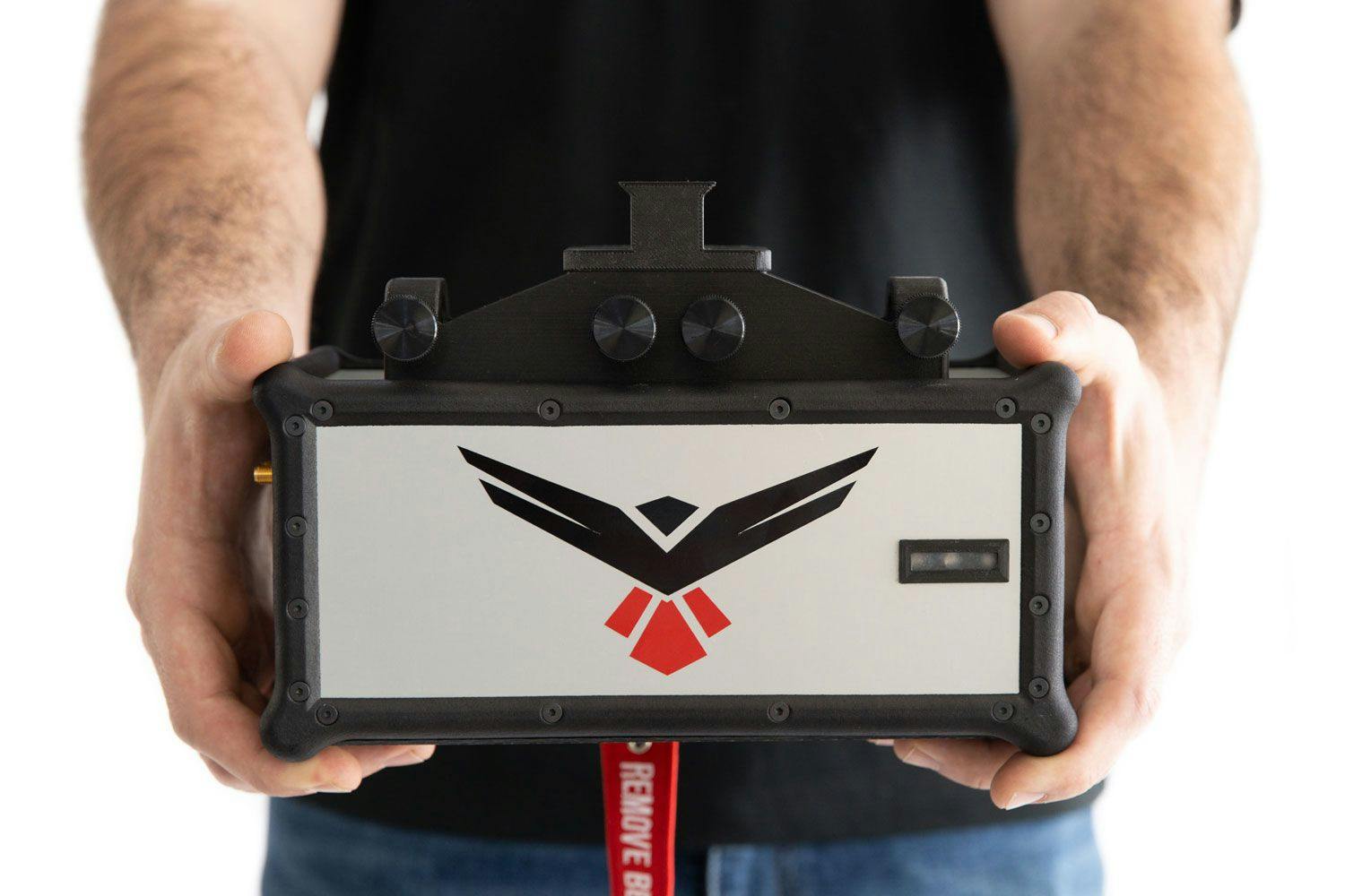
RedTail LiDAR technology licensed from the U.S. Army Research Laboratory; U.S. Patent Number 10,444,330 B2. Scanning - the way it was meant to be is a trademarked slogan of RedTail LiDAR Systems. Specifications are subject to change.