Commercial Scenarios
Property Development
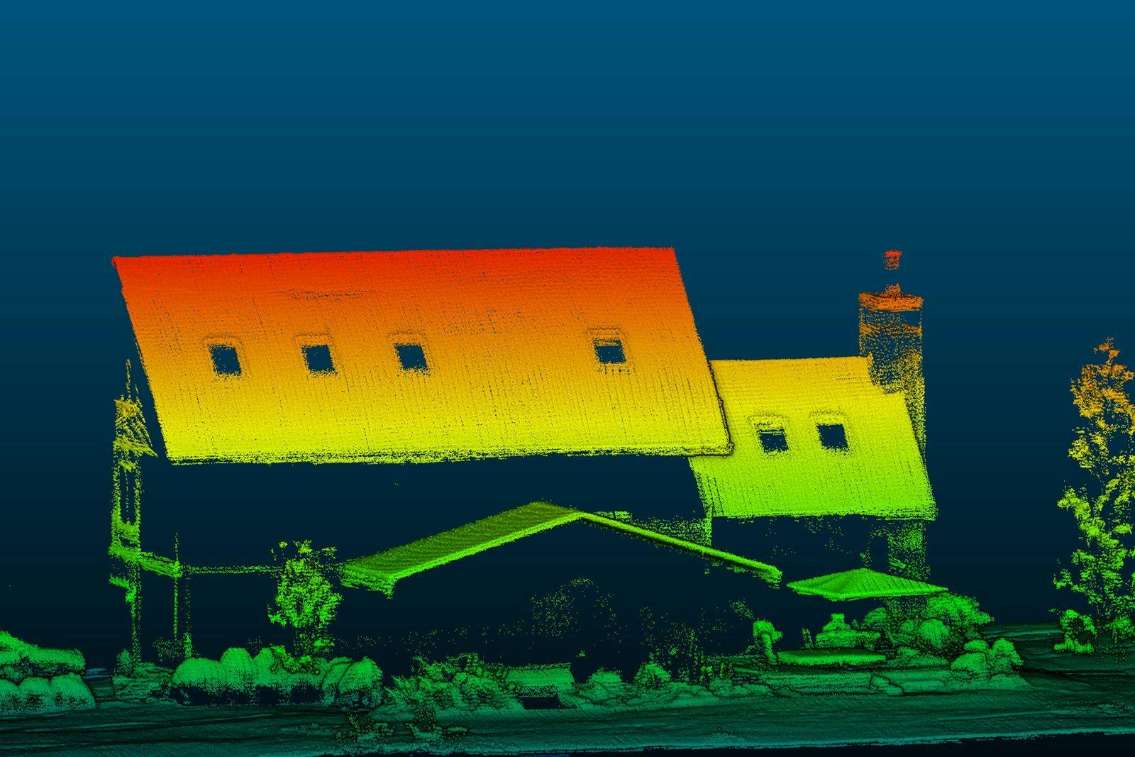
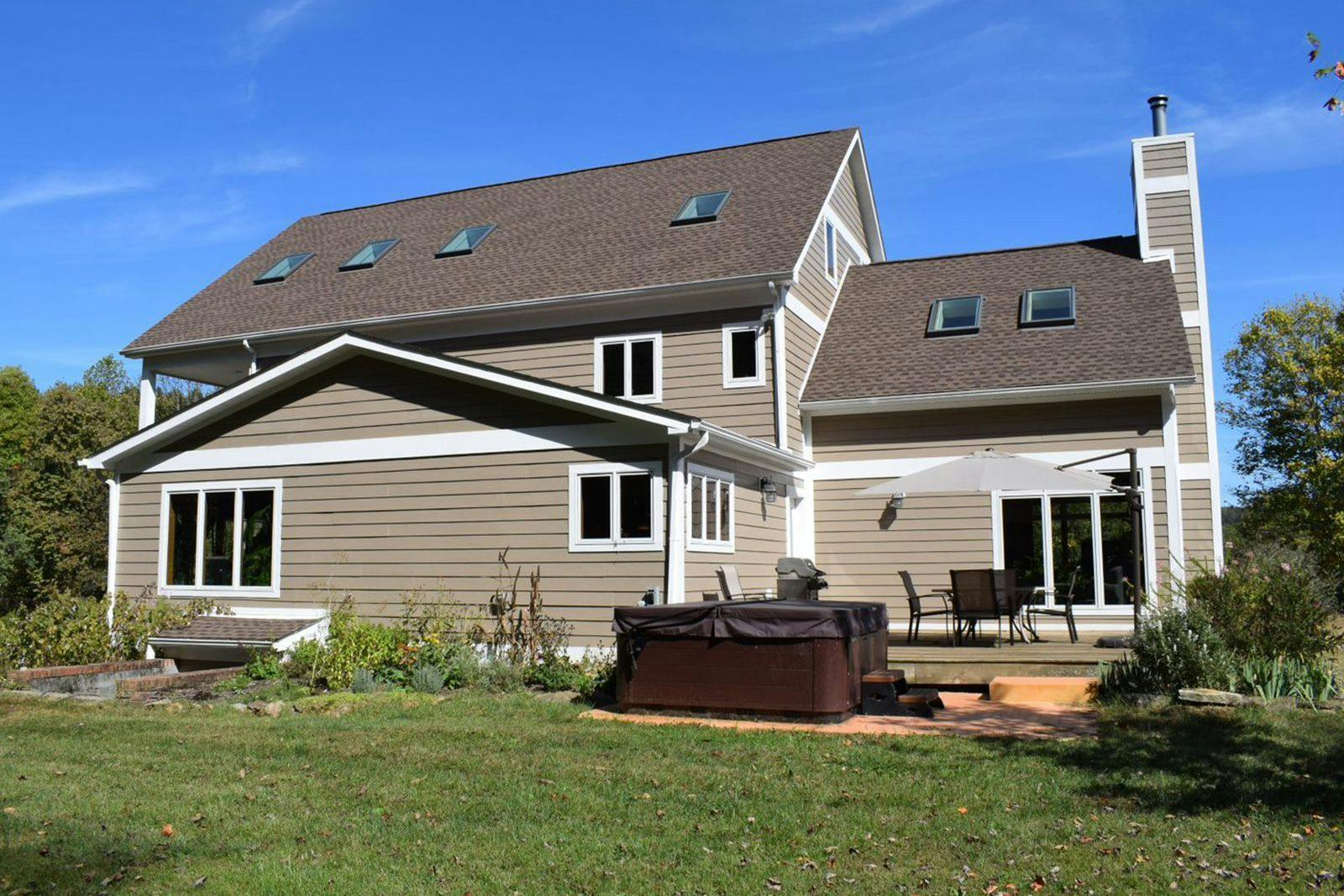
The RedTail LiDAR System is a superior point cloud generation tool that can help you manage all stages of property development by creating high-resolution, highly accurate 3D point clouds of your property development area.
The power of LiDAR imaging for property development is the creation of point clouds that can be rotated, zoomed, and used to accurately measure distances and volumes. High-resolution data can be acquired rapidly and efficiently with the RedTail LiDAR System. The data collected can be imported directly into construction and architectural software solutions, allowing for detailed simulations of the property development projects.
From small to large property development projects, there are many uses for LiDAR data including 1) analyzing property sight-lines, 2) assessing environmental impacts on surrounding areas, 3) evaluating a site’s hydrology, 4) estimating costs for earthmoving and for tree or vegetation removal, and 5) planning infrastructures such as power and gas lines.
The RedTail LiDAR System is the optimal solution for construction project planning, mapping, and monitoring. With a pulse repetition rate of 400,000 pulses per second, even ground-point distribution, superior ranging capability, and optimized scan angles, the RedTail LiDAR System simplifies even the most challenging construction projects.
See how the RTL-450 will optimize sUAS LiDAR mapping for your business.
Contact Us
RedTail LiDAR technology licensed from the U.S. Army Research Laboratory; U.S. Patent Number 10,444,330 B2. Scanning - the way it was meant to be is a trademarked slogan of RedTail LiDAR Systems. Specifications are subject to change.