Commercial Scenarios
Construction
Designed uniquely for small drones, the RedTail LiDAR System is a superior point cloud generation tool that can help you manage all stages of the construction process.
From roadways to rail corridors, to ports and airports, there are many uses for LiDAR data during construction including 1) conceptual design, 2) asset management, 3) confirm as bid conditions prior to construction, 4) monitor construction impacts, 5) document as-built plans, 6) generate surface profiles, 7) monitor post-construction subsurface settlement, 8) establish emergency access to construction projects, and 9) survey projects located in hazardous areas without endangering the crew or the public.
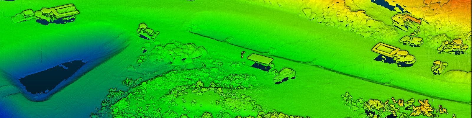
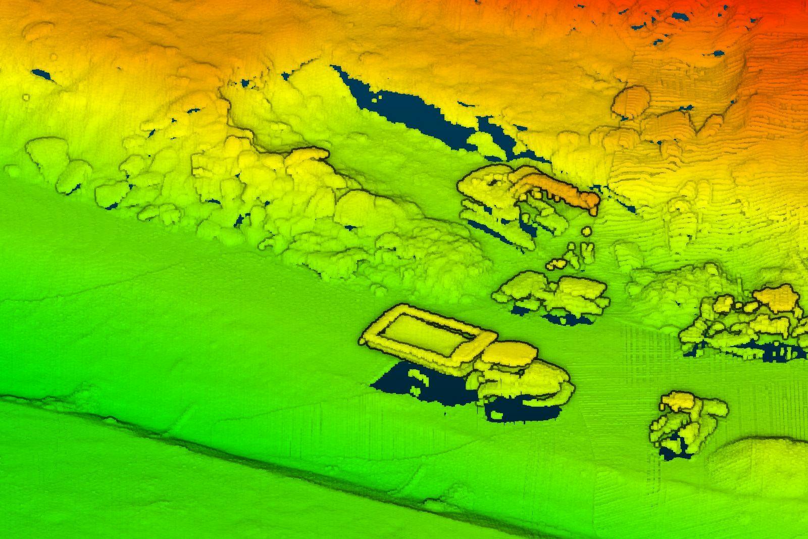
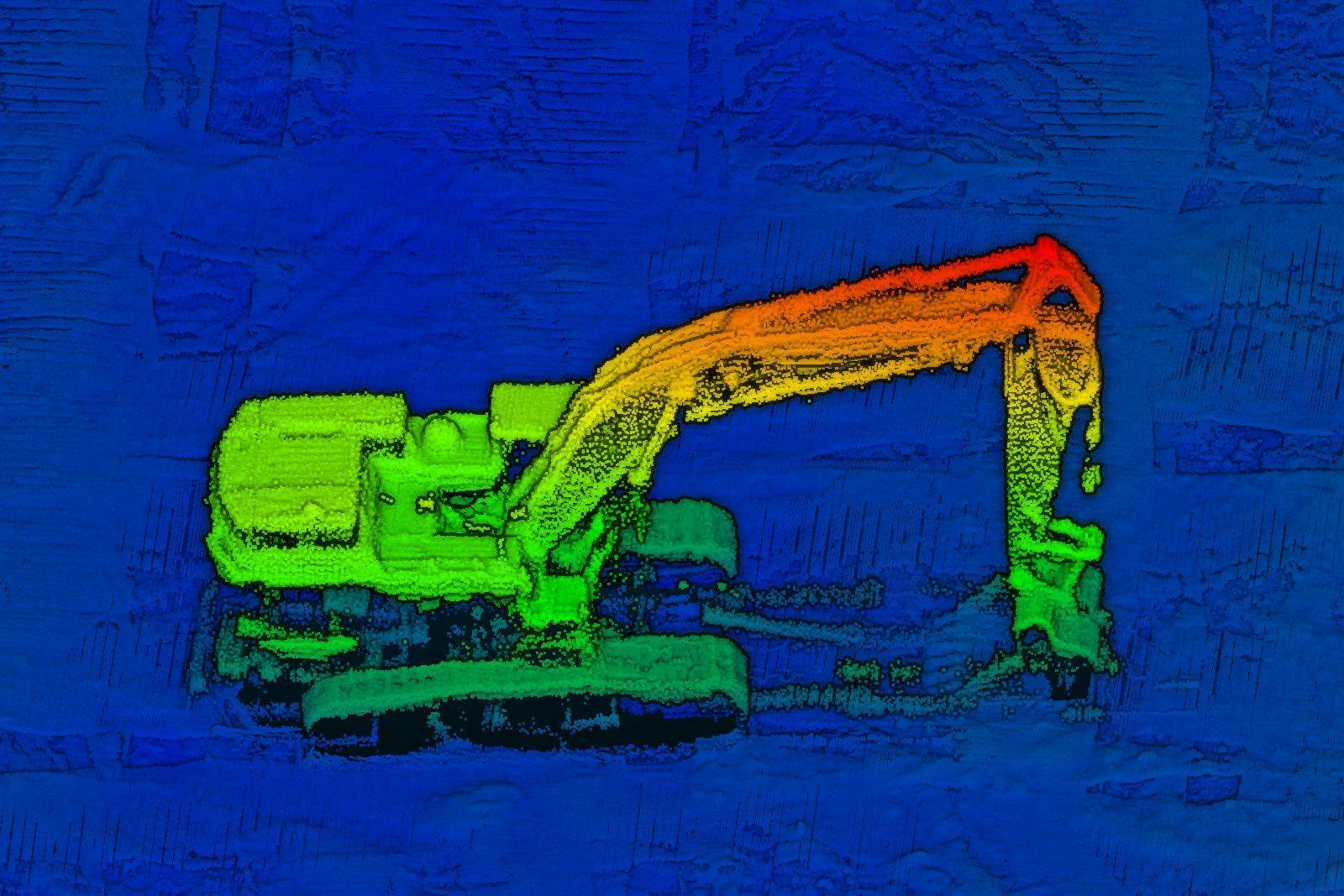
The power of LiDAR imaging for construction is the creation of point clouds that can be rotated, zoomed, and used for accurate distance and volume measurements. Accurate, high-resolution data can be acquired in a minimal amount of time, with less manpower and no interference with operations or construction activities. The data collected can be imported directly into construction and architectural software solutions, allowing for detailed simulations of the construction build.
The RedTail LiDAR System is the optimal solution for construction project planning, mapping, and monitoring. With a pulse repetition rate of up to 400,000 pulses per second, even ground-point distribution, superior ranging capability, and optimized scan angles, the RedTail LiDAR System simplifies even the most challenging construction projects.
See how the RTL-450 will optimize sUAS LiDAR mapping for your business.
Contact Us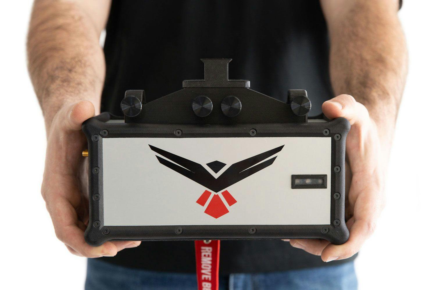
RedTail LiDAR technology licensed from the U.S. Army Research Laboratory; U.S. Patent Number 10,444,330 B2. Scanning - the way it was meant to be is a trademarked slogan of RedTail LiDAR Systems. Specifications are subject to change.