Commercial Scenarios
Environmental Monitoring
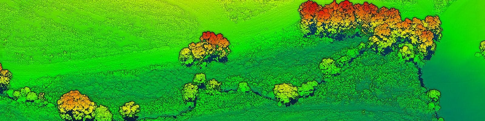
The power of LiDAR imaging for wetland management is the creation of point clouds that can be analyzed in a diverse number of ways. Data collected in a wetland environment can be used to 1) measure vegetation height and assess the health of the environment, 2) measure land volume to assess erosion of surrounding areas which can adversely affect the ecology of the wetland, 3) identify changes to the hydrology brought on by natural or manmade alterations to the flow of water through the wetland, and 4) assist in the delineation between wetland and upland forest areas. In addition, digital elevation models (DEMs) can be used for vegetation differentiation, and digital surface models (DSMs) provide a useful metric for vegetation classification.
The RedTail LiDAR is the optimal solution for wetland imaging. With a pulse repetition rate of up to 400,000 pulses per second, even point distribution on the ground, superior ranging capability, and optimized scan angles, the RedTail LiDAR System simplifies even the most difficult of wetland 3D mapping missions.
The RedTail LiDAR System –
incorporating LiDAR technology licensed from the U.S. Army Research Laboratory – is designed to provide high-resolution imaging from multi-copters, hybrid, and fixed-wing drones.
See how the RTL-450 will optimize sUAS LiDAR mapping for your business.
Contact Us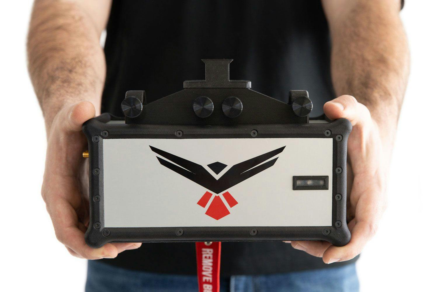
RedTail LiDAR technology licensed from the U.S. Army Research Laboratory; U.S. Patent Number 10,444,330 B2. Scanning - the way it was meant to be is a trademarked slogan of RedTail LiDAR Systems. Specifications are subject to change.