Government and Defense Scenarios
Mission Planning
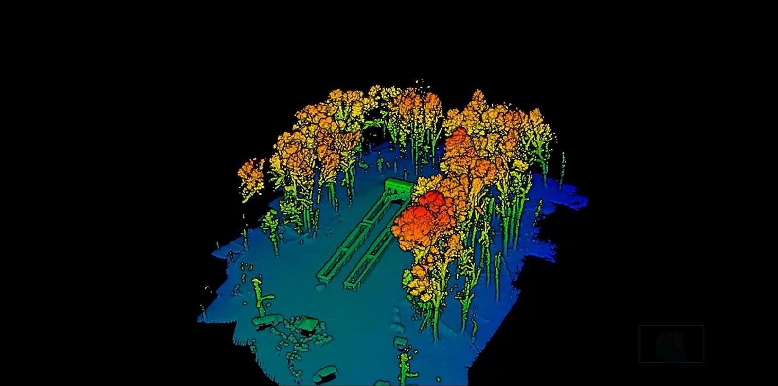
Extremely accurate, high point density LiDAR point clouds provide precise 3D models of areas of interest to facilitate detailed understanding of complex mission planning elements across the battlefield. The point clouds created by the RTL-450 can be geo-registered, which allows data collection, analysis, and overlay to be performed in a seamless manner.
The 3D images can be used for mission planning, troop or unmanned vehicle ingress/egress planning, hazard and obstacle detection and analysis, and marking of information collected (e.g., sensor feeds, personnel locations and contamination “stay clear” areas). Data collected from flights can provide 1) ability to develop sightlines in a 3D environment for sniper and counter-sniper operations, 2) measuring distances, heights and thicknesses of perimeter barriers, 3) planning ingress and egress routes, and 4) imaging beneath the canopy as well as camouflage netting.
Designed specifically for small unmanned aerial vehicles, the RedTail LiDAR System combines the agility and operability of a UAV with a superior point cloud generation tool. Together, the system supports the Critical Operating Issue of mission planning speed and data utility.
The RedTail LiDAR System is the optimal tool to provide operational commanders the analytical tools necessary to gain the tactical advantage and dominate the battlespace with near real-time actionable intelligence. With a pulse repetition rate of up to 400,000 pulses per second, even ground-point distribution, superior ranging capability, and optimized scan angles, the RedTail LiDAR System will provide highly accurate 3D models to maintain operational superiority.
See how the RTL-450 will optimize sUAS LiDAR mapping for your organization.
Contact Us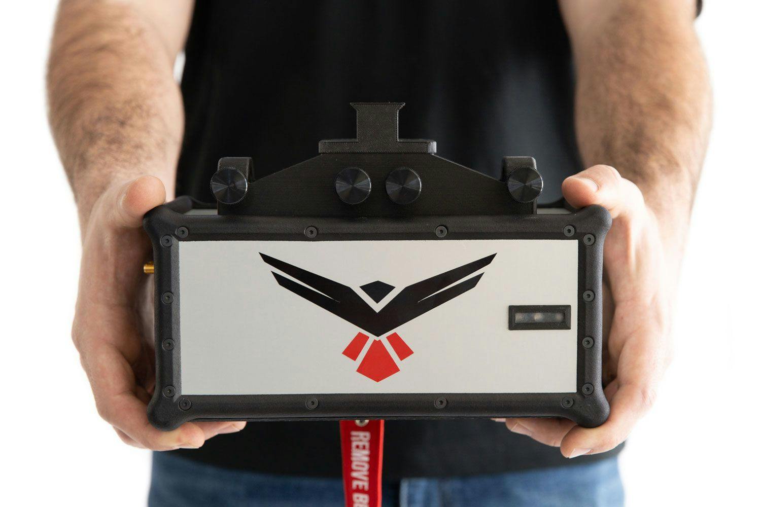
RedTail LiDAR technology licensed from the U.S. Army Research Laboratory; U.S. Patent Number 10,444,330 B2. Scanning - the way it was meant to be is a trademarked slogan of RedTail LiDAR Systems. Specifications are subject to change.