RTL-450

RTL-450 - A turn-key sUAS LiDAR solution
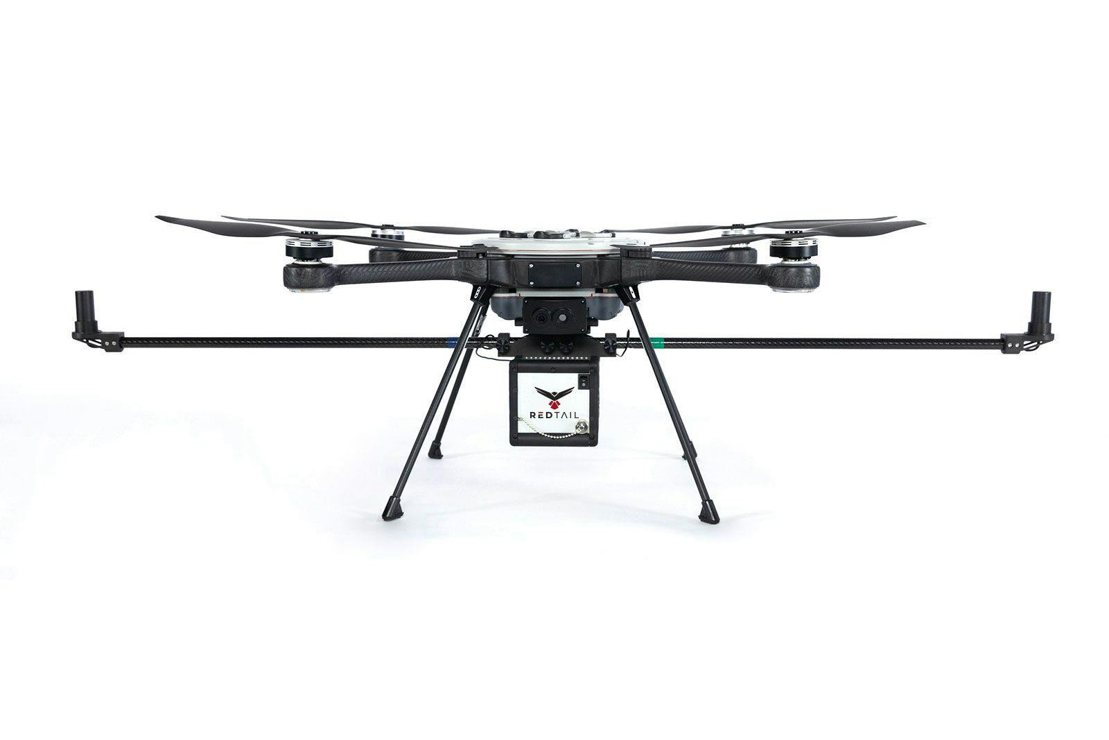
RedTail’s integration process provides world-class turn-key solutions. The RTL-450 is system agnostic, allowing the customer to select their sUAS of choice. The RedTail team provides all mounting, calibration, testing, and hands-on training to ensure the customer’s sUAS LiDAR system is ready to go from day one.
Processing Software
RedTail provides a lifetime license for our processing software. Our software, the RedTail Point Cloud generator (RTL-PCG), outputs a geo-referenced .las file.
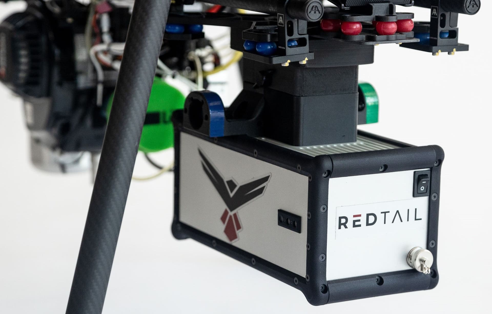
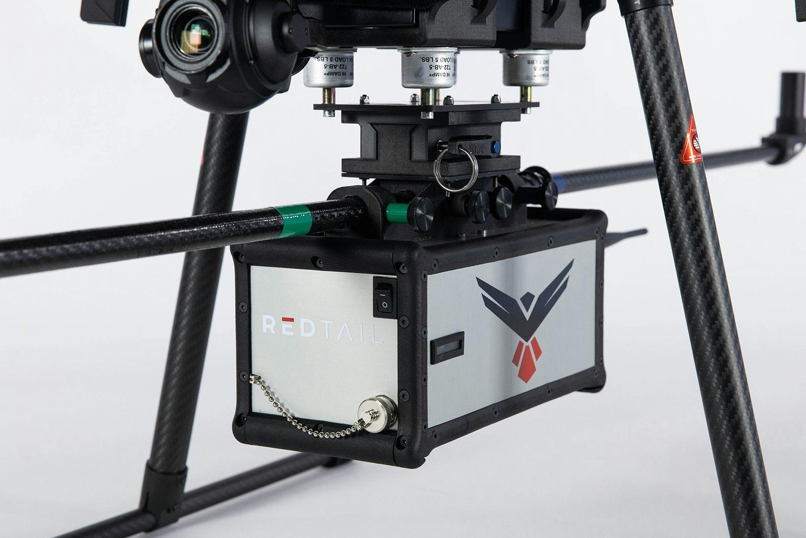
sUAS Mounting
RedTail provides mounting, calibration, and boresighting to ensure the RTL-450 works perfectly right out of the box.
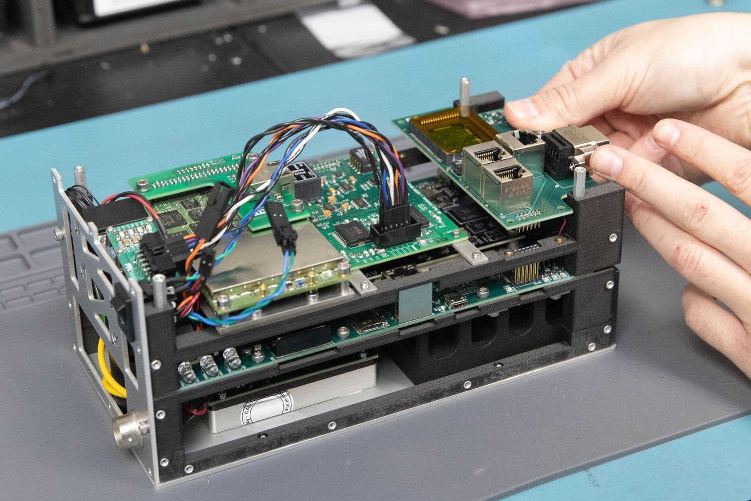
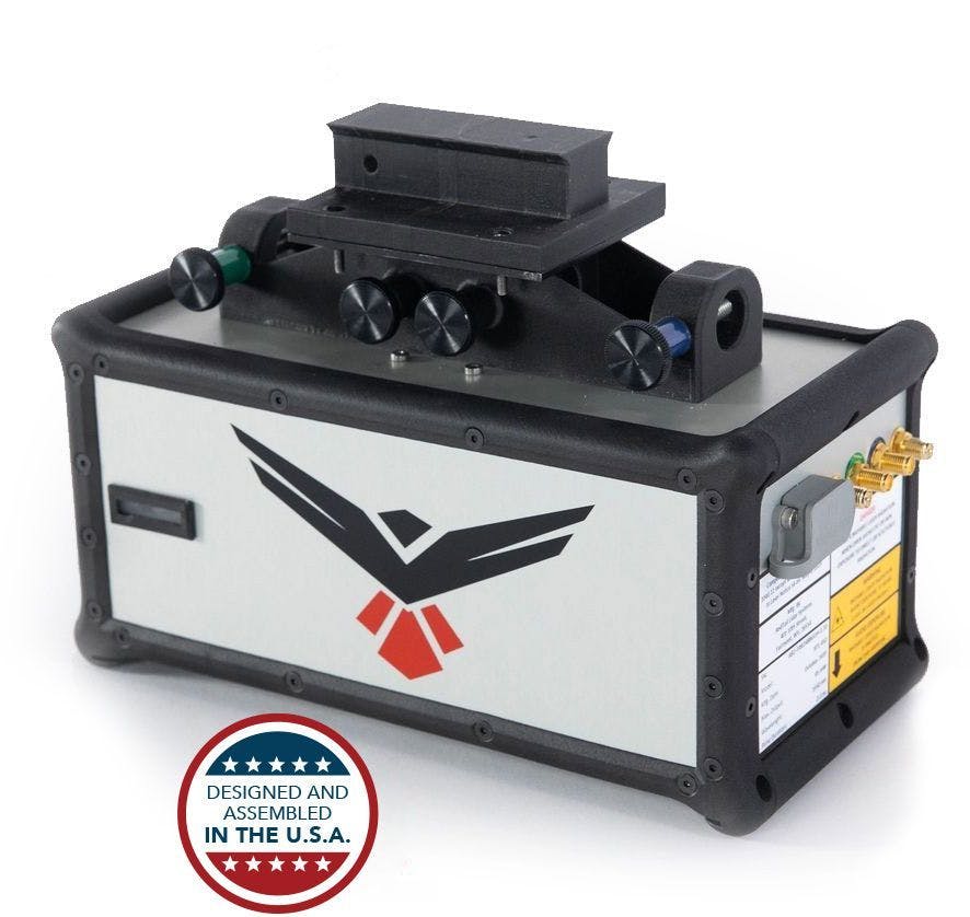
LiDAR Sensor & GNSS/IMU
RedTail’s patented LiDAR sensor was designed and optimized for use on sUAS'. The integrated APX-18 GNSS/IMU makes the RTL-450 the ultimate drone LiDAR package.

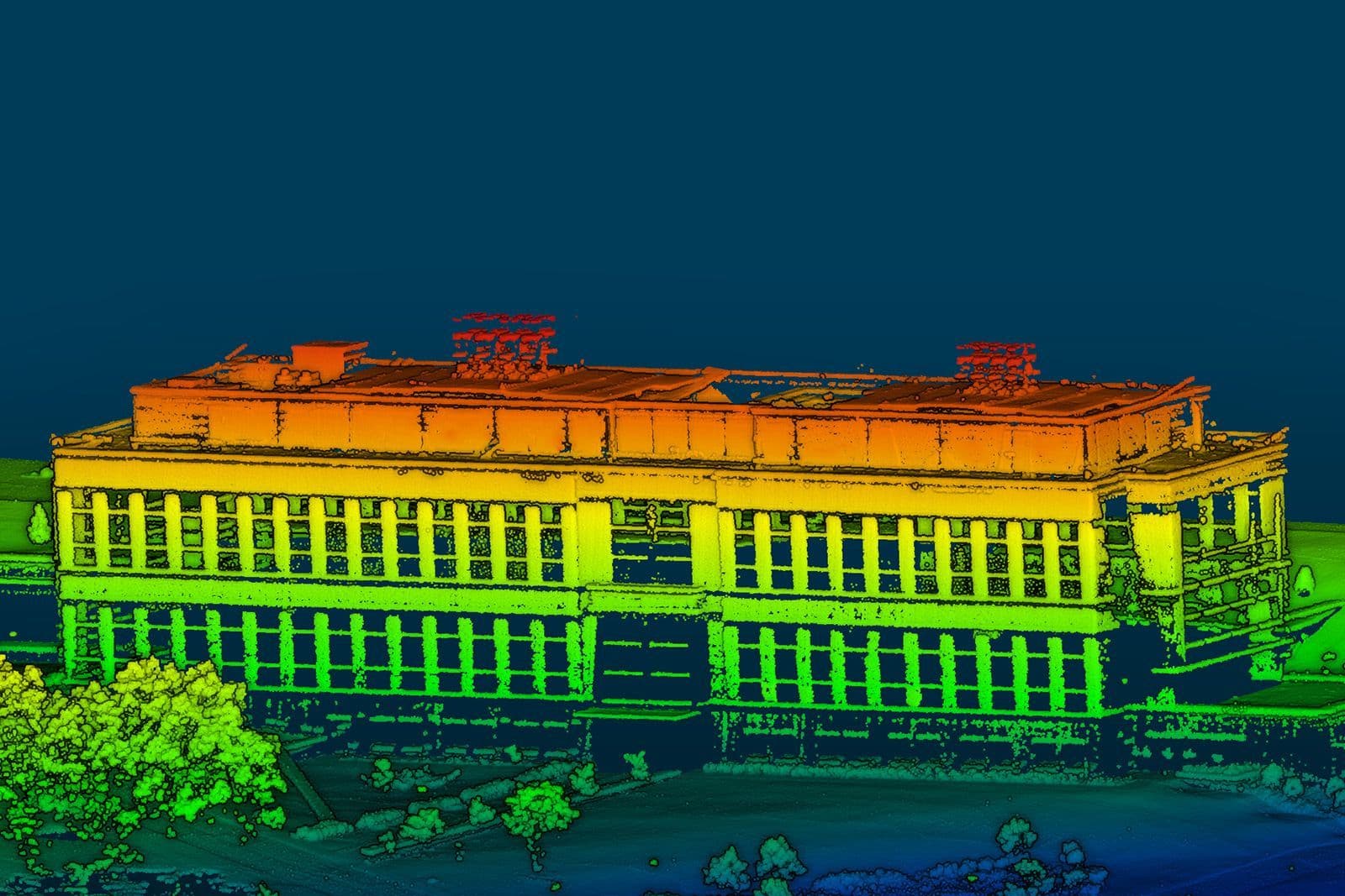
Unprecedented Data Density
The RTL-450 evenly distributes all data points on the ground, resulting in unprecedented data densities and point cloud resolution.

Extremely Light Weight
The RTL-450 unit weighs only 4.2 lbs. allowing for integration on a large variety of sUAS platforms.

Dual Antennas
The dual antennas come standard on the APX-18 increasing GPS accuracy, even when hovering.
RedTail’s Workflow Process
A key objective during the design and development of the RedTail LiDAR system was to simplify the data collection and processing workflow. The sUAS LiDAR sensor and ground control station work seamlessly together to create the ultimate user experience for 3D mapping.

Flight Planning
Users select their flight planning software based on their personal preferences.

RedTail LiDAR Setup
The setup of the RTL-450 generally takes one person 5 minutes or less.

Fly and Monitor
Operation of the RTL-450 and UAV can easily be performed by one user.
Data Processing
RedTail provides all software needed to quickly and efficiently generate .las files.

Data Analysis
.las files are simply imported into customer-selected data analysis tools.

Analysis Products
The final analysis is delivered with complete confidence knowing the RTL-450 has collected high-resolution, high-accuracy data.
RTL-450 Specifications
| Lidar Unit Weight (with dual GPS Antenna) | 2.2 kg (4.8 lbs) |
| Dimensions | 9.4" L x 4.6" W x 4.6" H |
| Max Range to 20% Reflective Targets (e.g. grass, vegetation) | 120 meters (400 feet) |
| Max Range to 80% Reflective Targets (e.g. white surfaces) | 160 meters (525 feet) |
| Wavelength | 1550 nm |
| Pulse Repetition Rates | 100, 200, or 400 kHz |
| Scan Rate | 200 lines/sec |
| Returns Per Pulse | 3 |
| Measurement Rate | 1 million points/second |
| Power | 45 Watt |
| GNSS/IMU | Applanix APX-18 |
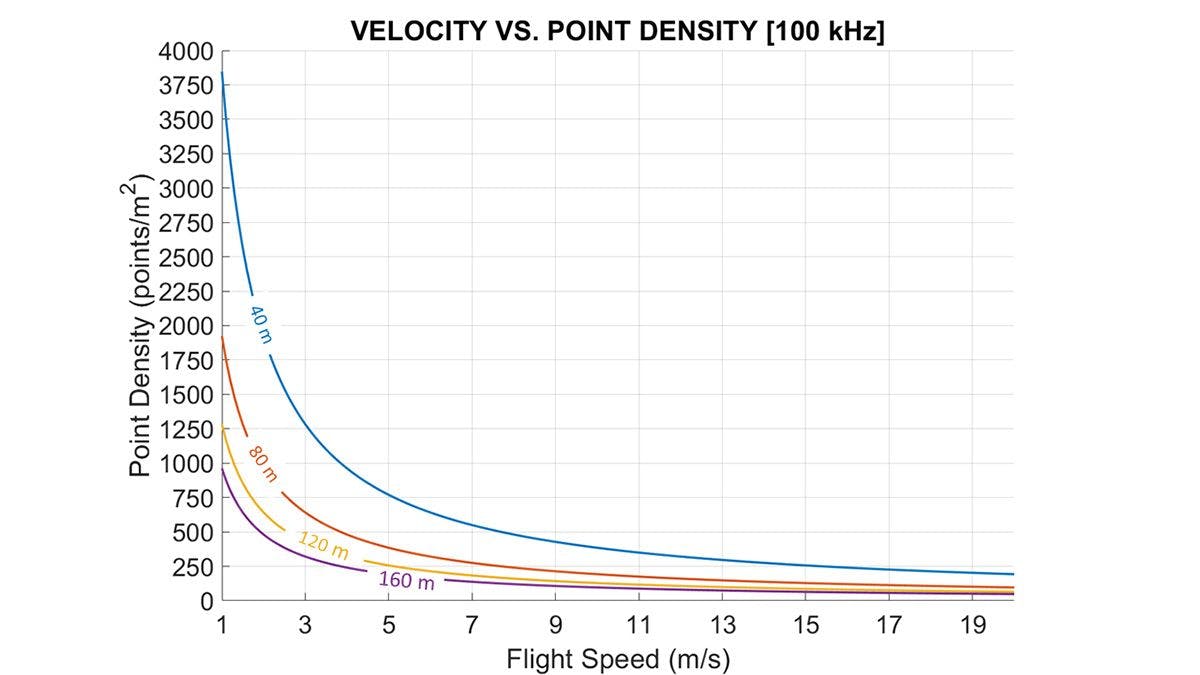
Point Density By PRR and Coverage Area
Extremely high LiDAR point density is a key attribute of the RTL-450 system. When combined with a high pulse repetition rate, that feature provides operational flexibility that can support flying high and fast to enable more efficient coverage of large areas without compromising high resolution and data quality. As you can see from the below charts, the RTL-450 point density values are in the ranges that best support Artificial Intelligence/Machine Learning for Object Classification. Please reference the published article “Optimal LiDAR Data Resolution Analysis for Object Classification” which can be viewed at this link.
sUAS Options
We offer several sUAS integration options for the RTL-450. If your current sUAS is not on this list contact us today for custom integration options.
The RedTail LiDAR RTL-450 makes use of Chibios. Chibios is a complete development environment for embedded applications including RTOS, a HAL, peripheral drivers, support files, and tools.
Conformance Testing
Each RTL-450 system is subjected to final conformance testing to ensure that the system met/exceeded all defined engineering performance specifications. This testing is completed prior to shipping the system to the end user and the documented results specific to that unit are provided to the customer as the final quality assurance check. A detailed explanation of the conformance testing is provided below.
All range and accuracy tests are performed using targets that have a reflectivity of 80%. The target shown in Figure 1 is representative of the test targets used for conformance evaluation RedTail LiDAR Systems conformance testing is comprised of three distinct evaluation steps. The conformance evaluation provides as-delivered characterization of the RTL-450 product prior to customer receipt.
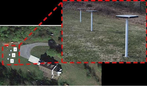
- Data collected from a flight altitude of 50 m AGL.
- Each target is a surveyed reference point (ground control point) which has been established using a GPS base station receiver.
- The centroid of each target from the point cloud is compared to its respective survey point to determine the horizontal and vertical RMSE.
- Position accuracy combines the performance attributes of the Applanix APX-18 GNSS/IMU and the pointing accuracy of the LiDAR unit in a single metric.
- As with all LiDAR systems, flying at lower altitudes results in greater positional accuracy as GNSS/IMU roll, pitch, and heading errors translate to lower positional errors of the earth and/or objects being imaged.
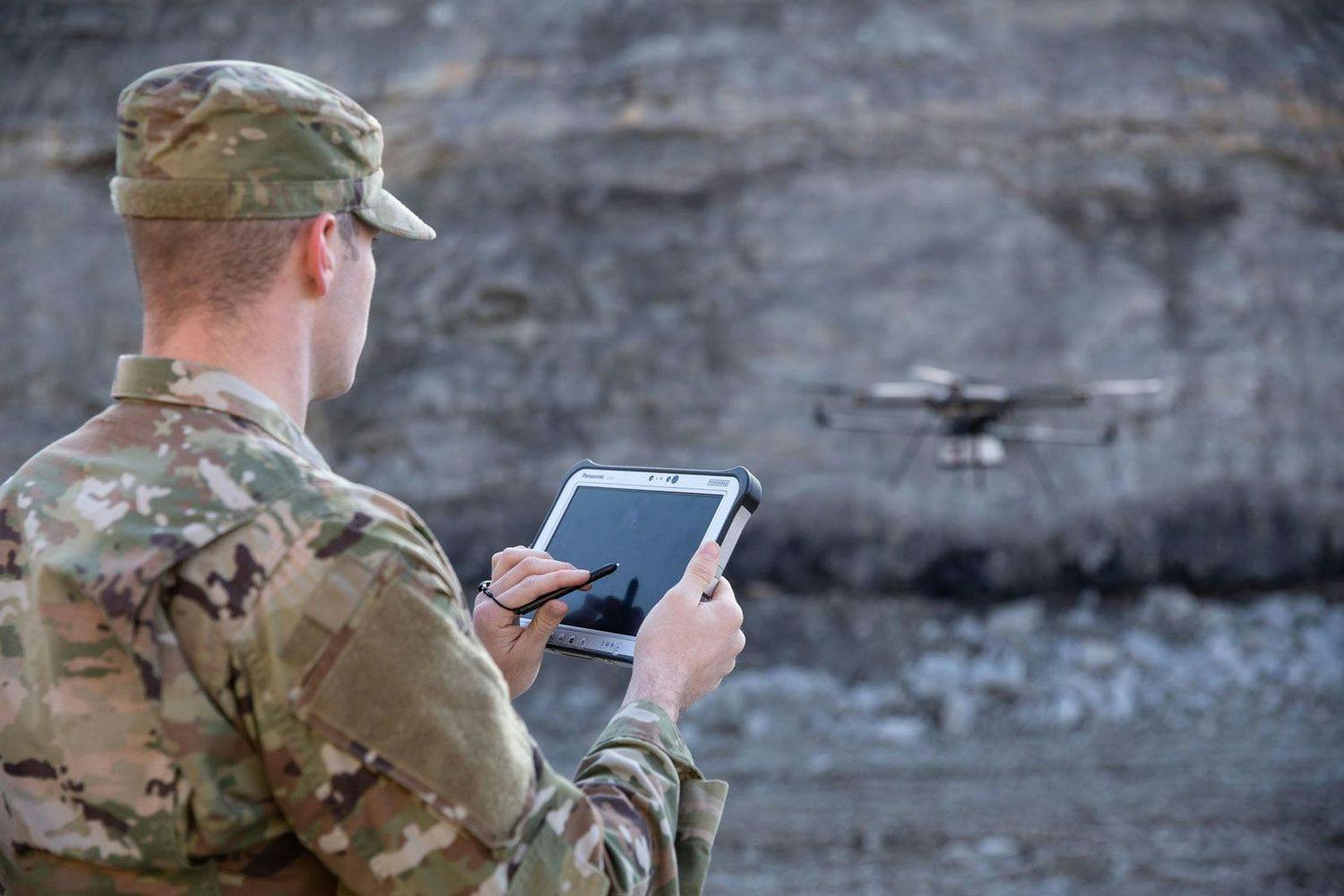
Government and Defense LiDAR Applications
Learn MoreSee how the RTL-450 will optimize sUAS LiDAR mapping for your business.
Contact Us
RedTail LiDAR technology licensed from the U.S. Army Research Laboratory; U.S. Patent Number 10,444,330 B2. Scanning - the way it was meant to be is a trademarked slogan of RedTail LiDAR Systems. Specifications are subject to change.